
Photo by Ray Aucott on Unsplash
Next time you look up at the night sky, look out for a satellite. There are thousands of them orbiting the earth. The first satellite images appeared in the 1970’s. Today satellite imaging is used to measure, identify and track human activity on an increasingly large scale. Satellite images of the ocean are being used to help tackle some of the biggest environment threats to our seas. Coraladies, a team of scientists, based in the Netherlands, took up the Coral Reef SOS challenge. Winners of the Big Blue Mission, organised by the Mothership programme in partnership with the EU’s Earth Observation and Monitoring Programme, Copernicus, this all-female team spoke with me about the challenges they faced and their plans for this project going forward.
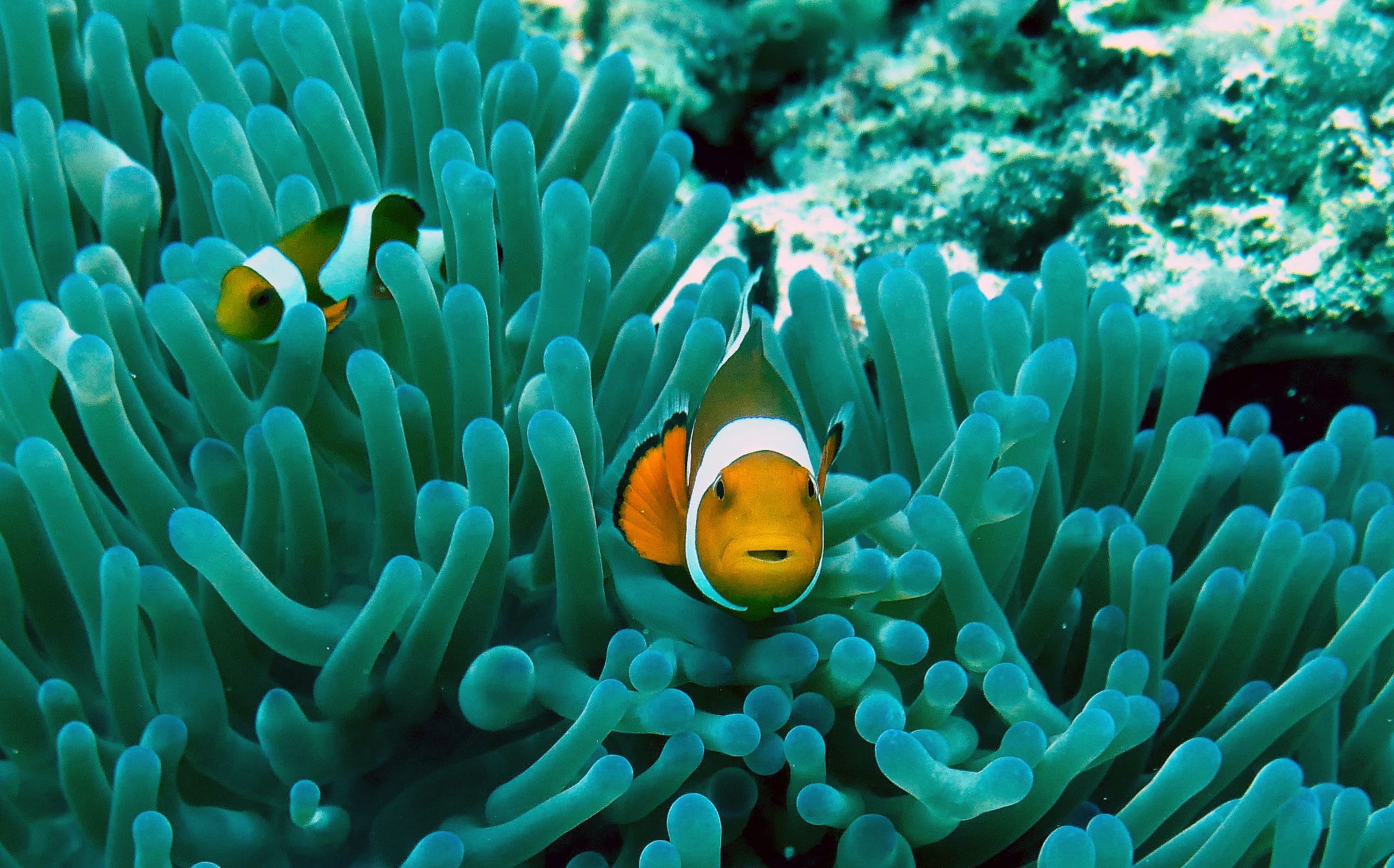
Coral reefs are highly sensitive ecosystems that occupy very limited areas of the ocean. Yet they’re home to a third of the world’s fish species. Millions of people ultimately depend on them for food. Raising Coral Costa Rica are dedicated to the re-creation of coral reefs. This NGO cultivates coral nurseries in order to plant them out in the ocean when ready. But baby coral is sensitive to changes in water conditions and replanting is expensive and labour intensive. This is where satellite imaging can help. Numerous images taken over time provide a picture of the changing water conditions. This in turn helps scientists make decisions about where and when coral might be optimally replanted. It also helps them better understand how to help prevent further erosion and degradation of existing coral reefs.
Coraladies to the rescue!
A four women team, calling themselves the Coraladies, set about building a prototype, the Coral Reef Rescue Portal. This product analyses satellite data in order to track ocean sedimentation. They used open source data provided by Copernicus and the European Space Agency Network of Resources to help them. Describing themselves as a passionate team consisting of a computer scientist ( Angela Sindic), a data scientist (Aileen Jiang), a GIS/ Remote sensing expert (Samantha Krawczyk) and Project Manager (Parya Pasha), these four women spoke with me about the project. Samantha admits that her passion for the ocean was what originally drew her to this challenge. She was joined by colleague, Parya who describes herself as a realist, interested in exploring both the environmental and the commercial aspects of such a prototype.
Aileen, who previously worked as an AI engineer in Rome, was eager to use her AI skills in this project. Inspired by a European Space Agency project designed to use satellite imaging to tackle pollution, Aileen admits however, that for their own project, more physically-based models using remote sensing were finally used instead. However she sees opportunities to use AI in the further development of their product as it is capable of handling much larger amounts of data. Angela, who was responsible for data acquisition and preparation, tells me how much she enjoyed the experience. In particular, the opportunity to work with real, live data to solve a real world problem like this one, was very rewarding.
Satellite imaging produces huge amounts of data.
Satellite images are part of the big data revolution. But the processing of these images is computationally intensive. Angela describes it as ‘taking a picture of the earth from far away’ using a variety of bandwidths, including infra-red, in order to gain a more detailed picture of the earth’s surface. Different bandwidths reveal different aspects of the earth’s surface, many of which can not be seen with the naked eye. For example, images of soil that is either barren or harbours germinating seeds. The images used for the development of the Coral Reef Rescue Portal, were relatively high resolution, 10x10m. Although the focus was largely on the remote sensing. This provides a bird’s eye view of the earth’s surface as the satellite crosses the earth, day-by-day. This process generates huge amounts of data which make the skills of software engineers and data scientists so vital.
These images need to be further prepared or cleaned before they can be used. Samantha explains that the processing of satellite images for ocean applications such as this one is quite different from that required for land applications. Oceans images tend to be more hazy as a result of the interaction of light and water. Less research has been done on ocean imaging and this is one of the things that attracted Samantha to the project. ‘The amount of learning we did through this project was incredible. I would love to work more in the future with ocean imagery’ she tells me. Looking ahead, Parya, is hopeful that their prototype will have application across a range of coral reefs, not just the one in Costa Rica.
Science is outstripping markets in this area.
There is an increasing push to monetize satellite imaging and data products. Aileen explains that more widespread access to satellite imaging and open source libraries, together with data pipelines which enable efficient processing, have given rise to a range of start-ups. They are using the data to develop products across various domains of earth observation. In the ocean, satellite imaging is being used to identify plastic waste, particularly submerged micro-plastics particles.
This technology, Parya explains, can help scientists divert clean-up efforts to the right places, given the effects of winds and currents on the movement of the plastic. Satellite imaging can also be used to help identify large vessels that may be leaking oil, in far flung corners of the ocean, Aileen tells me. The science and technology associated with satellite imaging and its processing have advanced more rapidly than the markets for it. But projects such as these are helping to narrow this gap and in so doing, actively helping to save our planet!